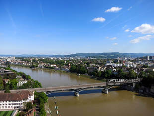
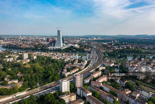
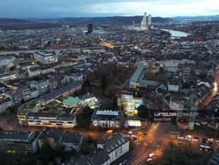
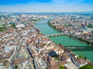
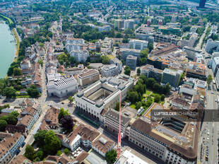
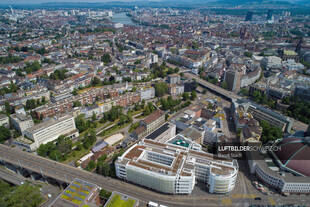
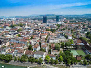
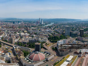
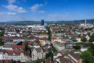
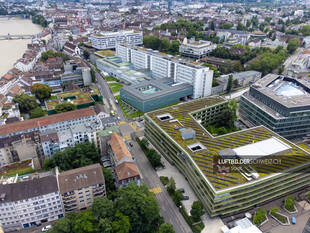
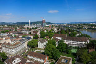
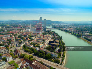
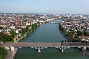
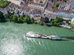
StartLuftaufnahmen der SchweizOrtschaftenBasel StadtLuftbild Höhenweg Stadt Basel «Basel Luftbild Pauluskirche» wurde Ihrem Warenkorb hinzugefügt. Warenkorb anzeigen Luftbild Höhenweg Stadt Basel49.95CHF Luftbild Höhenweg Stadt Basel Menge Lizenz kaufen Bildgrösse / Format 4856 x 3640 Pixel / JPG (DNG auf Anfrage) Kategorien Basel Stadt, Ortschaften, Städte Keywords Basel Stadt, Drohne, Innenstadt, Kanton Basel, Luftaufnahme, Luftbild, Schweiz, Stadt, Stadt Basel, Beschreibung Beschreibung Diese Drohnenaufnahme zeigt die Margarethenstrasse hinter dem Hauptbahnhof der Stadt Basel. Weitere Luftbilder zu Basel Stadt Basel StadtBrückenSommerWasser Luftbild Basel Wettstein Buy now Luftbild Basel Wettstein Basel Stadt Luftaufnahme Basel Gellert / Breite Buy now Luftaufnahme Basel Gellert / Breite Basel Stadt Spalentor, Botanischer Garten der Universität, Universitätsbibliothek Buy now Spalentor, Botanischer Garten der Universität, Universitätsbibliothek Basel Stadt Luftbild Basel Schifflände & Marktplatz Buy now Luftbild Basel Schifflände & Marktplatz Basel Stadt Luftbild Kunstmuseum Basel Buy now Luftbild Kunstmuseum Basel Basel Stadt Basel Luftbild Markthalle Buy now Basel Luftbild Markthalle Basel StadtSommer Luftaufnahme Basel Buy now Luftaufnahme Basel Basel Stadt Luftbild Wettsteinplatz Basel Buy now Luftbild Wettsteinplatz Basel Basel Stadt Luftbild Markthalle Basel Stadt Buy now Luftbild Markthalle Basel Stadt Basel StadtSommer Luftaufnahme Basel Zentrum Buy now Luftaufnahme Basel Zentrum Basel Stadt Luftaufnahme UKBB & Brustzentrum Basel Buy now Luftaufnahme UKBB & Brustzentrum Basel Basel StadtSommer Luftaufnahme Basel Wettstein-Quartier Buy now Luftaufnahme Basel Wettstein-Quartier Basel Stadt Luftbild Roche-Turm Basel Buy now Luftbild Roche-Turm Basel Basel Stadt Luftbild Basel Rheinbrücke Buy now Luftbild Basel Rheinbrücke Basel StadtWasser Luftbild Wassertransport Rhein Stadt Basel Buy now Luftbild Wassertransport Rhein Stadt Basel