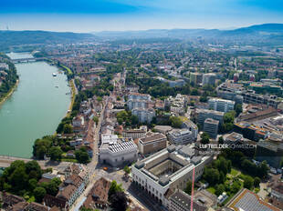
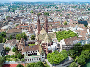
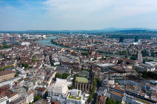
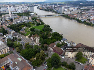
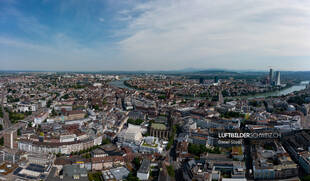
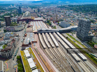
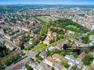
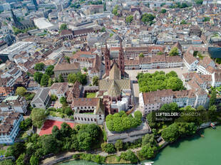
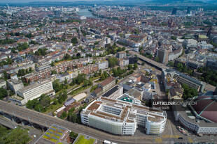
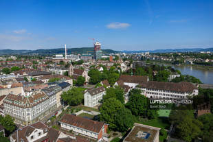
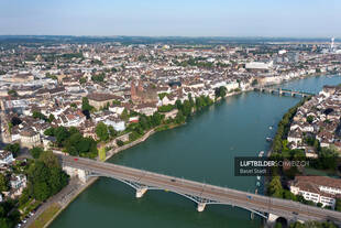
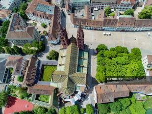
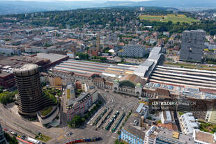
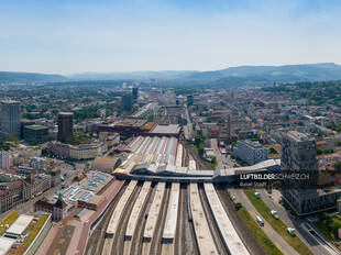
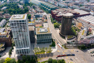
StartseiteLuftaufnahmen der SchweizOrtschaftenBasel StadtLuftbild Höhenweg Stadt Basel «Spalentor, Botanischer Garten der Universität, Universitätsbibliothek» wurde Ihrem Warenkorb hinzugefügt. Warenkorb anzeigen Luftbild Höhenweg Stadt Basel49.95CHF Luftbild Höhenweg Stadt Basel Menge Lizenz kaufen Bildgrösse / Format 4856 x 3640 Pixel / JPG (DNG auf Anfrage) Kategorien Basel Stadt, Ortschaften, Städte Keywords Basel Stadt, Drohne, Innenstadt, Kanton Basel, Luftaufnahme, Luftbild, Schweiz, Stadt, Stadt Basel, Beschreibung Beschreibung Diese Drohnenaufnahme zeigt die Margarethenstrasse hinter dem Hauptbahnhof der Stadt Basel. Weitere Luftbilder zu Basel Stadt Basel Stadt Kunstmuseum Basel Luftbild Buy now Kunstmuseum Basel Luftbild Basel Stadt Luftbild Niklauskapelle Basler Münster Buy now Luftbild Niklauskapelle Basler Münster Basel Stadt Luftaufnahme Basel – Altstadt Grossbasel Buy now Luftaufnahme Basel - Altstadt Grossbasel Basel Stadt Basel St. Johanns-Tor Luftbild Buy now Basel St. Johanns-Tor Luftbild Basel StadtPanorama Basel Panorama Luftaufnahme Buy now Basel Panorama Luftaufnahme Basel Stadt Luftbild Basel Bahnhof SBB Buy now Luftbild Basel Bahnhof SBB Basel Stadt Basel Luftbild Pauluskirche Buy now Basel Luftbild Pauluskirche Basel Stadt Luftbild Basler Münster Buy now Luftbild Basler Münster Basel Stadt Basel Luftbild Markthalle Buy now Basel Luftbild Markthalle Basel StadtSommer Luftaufnahme Basel Wettstein-Quartier Buy now Luftaufnahme Basel Wettstein-Quartier Basel Stadt Luftaufnahme Basel Wettsteinbrücke Buy now Luftaufnahme Basel Wettsteinbrücke Basel StadtSelection Basler Münster Luftbild Buy now Basler Münster Luftbild Basel Stadt Drohnenfoto Basel Centralbahnplatz Buy now Drohnenfoto Basel Centralbahnplatz Basel Stadt Luftbild Basel Bahnhof Stadt Buy now Luftbild Basel Bahnhof Stadt Basel Stadt Basel BIZ Tower & Baloise Park Luftaufnahme Buy now Basel BIZ Tower & Baloise Park Luftaufnahme